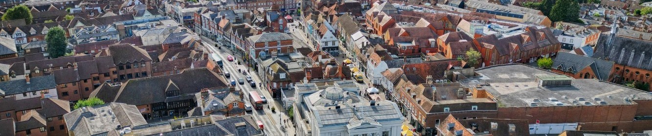
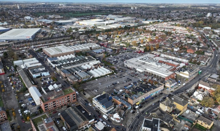
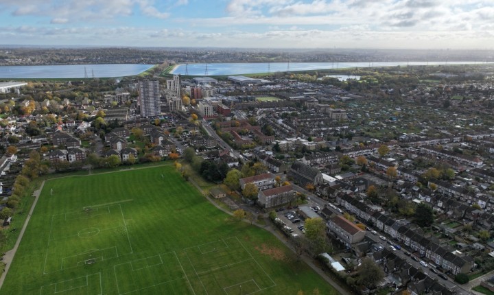
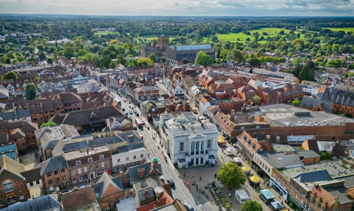
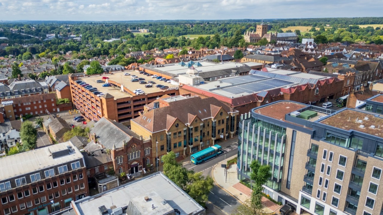
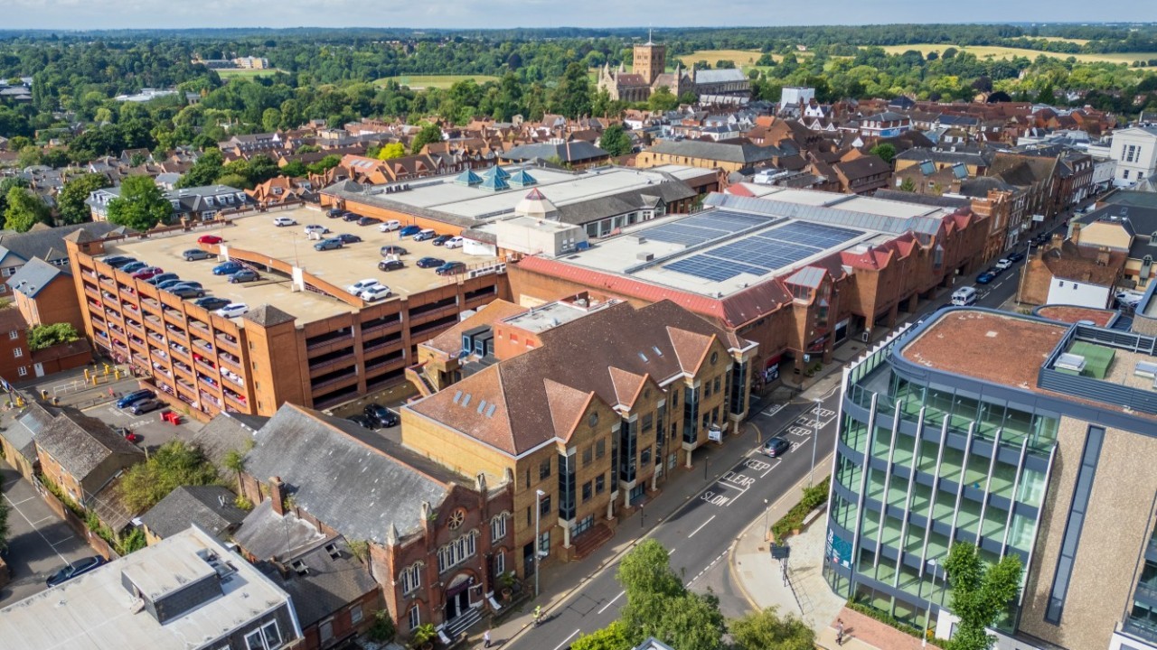
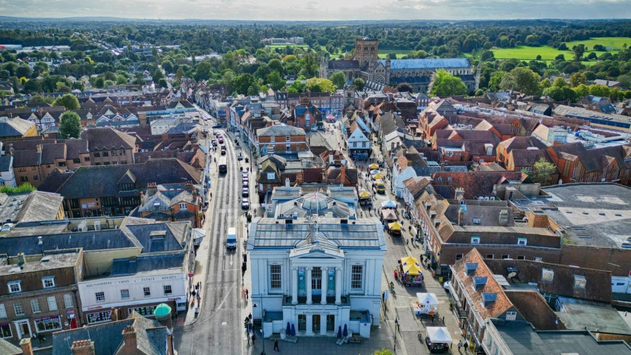
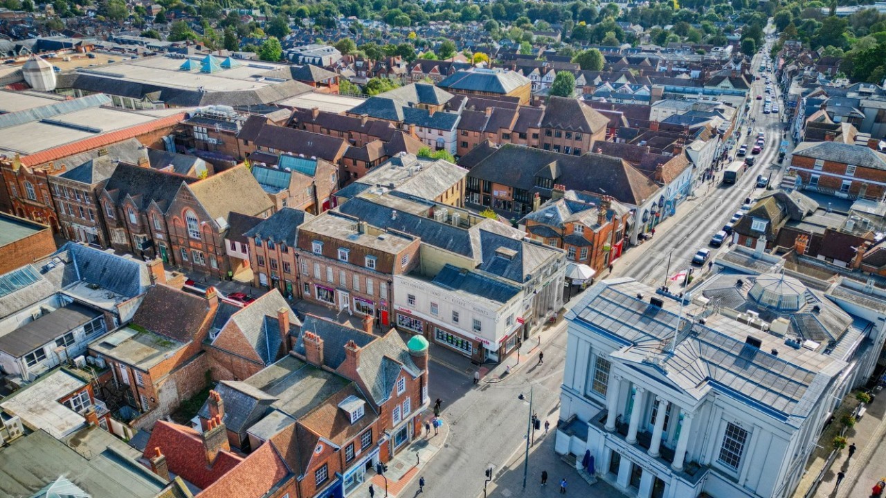
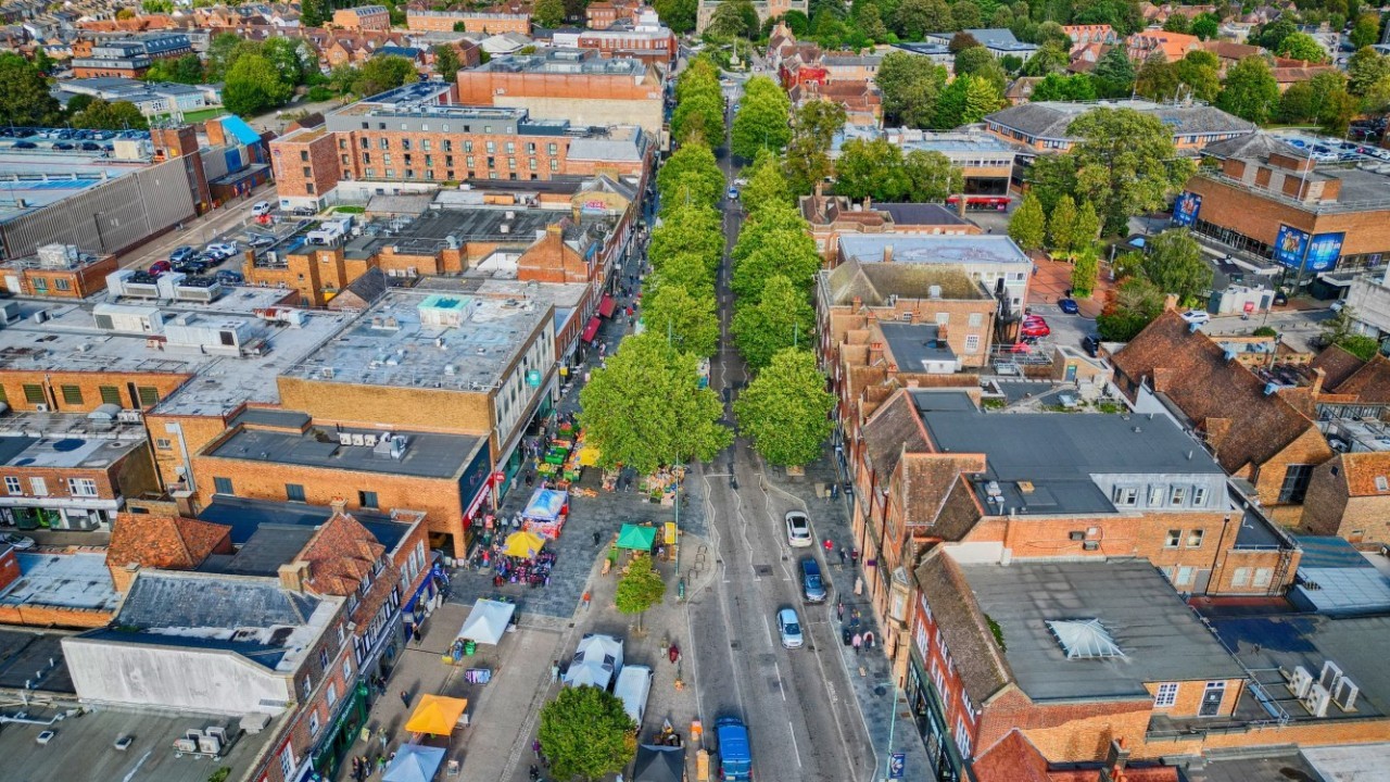
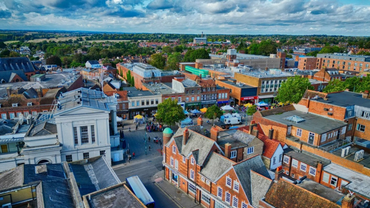
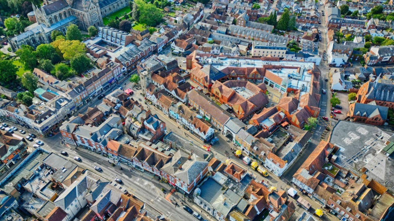
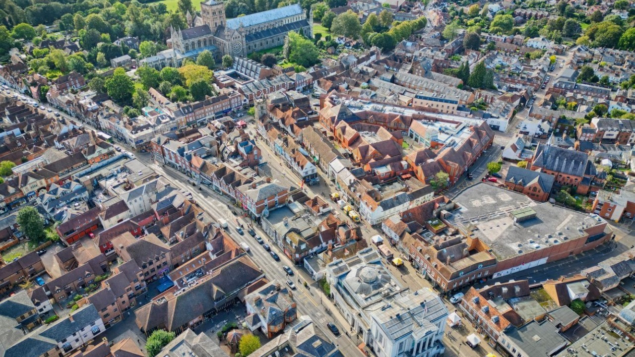
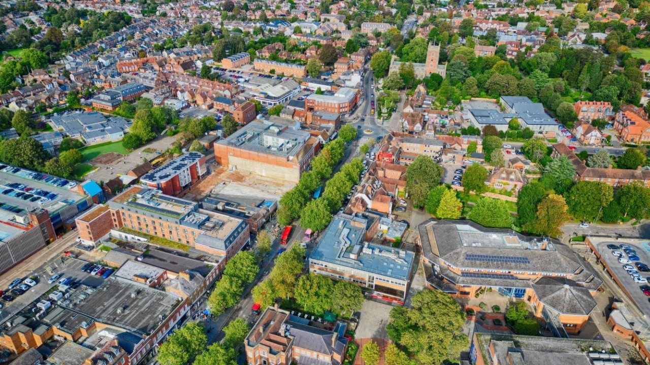
St Albans Drone Picture 1

Drone Photography & Videography

CAA-certified drone pilot
Indoor and outdoor capability
Professional in-house editing team
Free consultation

Professional drone photography and videography services

The way commercial property is presented, inspected and marketed has changed significantly in recent years. Drone technology now makes it possible to capture compelling aerial imagery, produce immersive video content and carry out detailed building inspections – all without the cost, disruption and health and safety risks associated with traditional methods.

Our drone photography and videography service is led by a CAA-certified pilot holding both GVC and A2 CofC qualifications, ensuring precision, compliance and professionalism on every project. We use a combination of GPS drones, FPV (First Person View) drones and ground-based cinematography equipment, giving us the flexibility to capture the right content for any brief.

All footage and imagery is processed by our in-house editing team using industry-leading software, so the final product is polished, professional and ready to use from the moment it is delivered to you.

What drone services do we offer?

From commercial property marketing to aerial building surveys and immersive 360 tours, our drone services cover a wide range of applications. Here is an overview of what we can do for you.

Enfield Drone Image 1

Commercial property marketing

First impressions matter, and aerial imagery has become one of the most effective tools available for marketing commercial property. We can create high-quality visual content for a broad range of property types, including offices, retail parks and industrial units.

Our commercial property marketing services include:

  • Aerial photography and videography, including panoramic and 360-degree imagery
  • Immersive virtual and fly-thru tours using FPV Cinewhoops, offering a dynamic and engaging way to showcase a property
  • High-quality static ground photography using professional DSLR cameras for detailed, polished shots

Please find two video examples below:

Enfield Drone Image 4

Indoor aerial photography and fly-thru tours

Drone technology is not limited to the outdoors. We have successfully flown drones in a wide variety of interior environments, including warehouses, retail units and office spaces. Safety is our priority in every indoor operation, so we use propeller guards as standard to protect both the drone and the surrounding environment.

For indoor fly-thru productions, we use an FPV Cinewhoop drone, designed for precision flying in confined spaces, to capture unique, cinematic perspectives that a standard camera simply cannot replicate. The result is an immersive, flowing piece of content that brings the interior of a building to life for prospective tenants, buyers or investors.

Please find two video examples below:

St Albans Drone Picture 1

Aerial building inspections and surveys

Our UAV building surveys can access hard-to-reach and potentially dangerous areas, such as roofs, cladding, gutters, chimneys, and towers, and deliver high-quality imagery that provides a comprehensive understanding of a building's condition. Our inspection outputs include:

  • UAV surveys with photographic schedules or video
  • Building damage assessments
  • Orthomosaic photography
  • Interactive digital reports with 360-degree imagery
  • Imagery for Schedule of Condition and Schedule of Dilapidations

UAV surveys are particularly well suited to routine inspections, damage assessments following adverse weather events, solar panel condition checks, schedule of condition and dilapidations imagery, and the creation of planned preventative maintenance (PPM) plans.

St Albans Drone Picture 4

Hybrid 360 tours

Our hybrid 360 tour service combines high-resolution aerial panoramic photography with interior imagery to produce a single, fully navigable digital tour of a property and its surroundings. Viewers can explore the building at their own pace and take in every angle without visiting in person.

These tours are produced using specialist 360-degree capture technology and integrated into an interactive format that can be embedded into websites, marketing brochures and digital presentations.

For commercial property owners and agents, they offer a compelling and efficient way to present a building to a wide audience, reducing the need for repeated physical viewings and accelerating the decision-making process for prospective occupiers or buyers.

Please find an example hybrid 360 tour here.

“Drone technology has genuinely transformed what is possible in commercial property. The quality of imagery we can now capture from the air, and increasingly from inside buildings, gives our clients a level of detail and visual impact that simply was not achievable a few years ago.
Combined with our in-house editing capability, we can take a brief from initial flight through to a polished final product efficiently and safely.”

Steve Cable

Drone Pilot Surveyor

Drone Surveyor

How does the drone photography and videography process work?

  1. Initial consultation – We begin by understanding your objectives so we can recommend the most appropriate approach for your brief.
  2. Site assessment and flight planning – Our pilot reviews the site, identifies any airspace restrictions and prepares a detailed flight plan and risk assessment in full compliance with CAA regulations.
  3. The shoot or survey – On the day, our certified pilot manages all flight operations with precision and care. We work efficiently to minimise disruption to your site and any occupiers.
  4. In-house editing and post-production – All footage and imagery is passed to our editing team, who process the material using Adobe Photoshop, Premiere Pro and After Effects.
  5. Delivery – Final assets are delivered in your agreed formats, and weare on hand to make any refinements before sign-off.
Drone Screen

Why choose BTG Eddisons for drone photography and videography?

  • CAA-certified drone pilot with GVC and A2 CofC qualifications
  • Capable of operating indoors and outdoors across a wide range of commercial environments
  • GPS and FPV drone technology combined with professional DSLR ground photography
  • In-house editing team using Adobe Photoshop, Premiere Pro and After Effects
  • A safer, faster and more cost-effective alternative to scaffolding and traditional access methods
  • We have over 180 years of experience and 35 offices across the UK
  • A five-star rated service with a proven track record of success

Arrange your drone survey or property shoot

Whether you need aerial marketing content, an indoor fly-thru tour, a UAV building inspection or a hybrid 360 tour, our certified drone team is ready to help. Fill out the form below to arrange a free consultation with our dedicated team.

Local office finder

BTG Eddisons boasts a national presence, with offices located throughout the UK.

Discover your nearest one today.

Find Your Office

Contact details

Tel: 0113 243 0101
BTG Eddisons Head Office

2nd Floor, 10 Wellington Place, Leeds, LS1 4AP

Frequently Asked Questions About Drone Photography and Videography

Our Drone Photography Examples

Enfield Drone Image 1

Enfield Drone Image 1

View Meet the Team
CTA grid   Our Team

Our team

We are proud to employ more than 450 talented individuals working across a multitude of disciplines.

Find Your Nearest Office
uk map dotted orange

Office finder

BTG Eddisons is rapidly growing; emphasised by our nationwide network of 35 offices across the UK.

Get In Touch With Us
CTA grid   Contact Us

Contact us

We are ready to take your call and can quickly pass you through to the right department.

Sign Up To Our Newsletter
CTA grid   Newsletter

Newsletter

Join thousands of property managers, occupiers, landlords and investors receiving the latest insights.

This site uses cookies to monitor site performance and provide a more responsive and personalised experience. You must agree to our use of certain cookies. For more information on how we use and manage cookies, please read our Privacy Policy.